Visiting more Sites with MyRouteOnline
February 22, 2017
With his camera and his laptop, Chris Curtis spends his leisure time on long weekends and vacations traveling to areas of the country with Civil War roots to photograph historical sites.
As any photographer knows, these types of projects are not a small undertaking.
“When I target a location, I try to hit 30-50 places a day,” Chris said. “There are a ton of places, both big and small.”
Chris needs to make the most of his time while he’s on the road. He’s used MyRouteOnline for the past three years to help him create efficient routes.
“It’s hard to know where to go when you don’t know the town,” he said. “The last thing I want to do is waste time asking for directions. And I hate backtracking.”
After researching his options Chris purchased MyRouteOnline’s pay-as-you-go subscription, which was a big selling point. “MyRouteOnline has the best combination of interface, inputting data, and pricing,” he said.
Plus, Civil War historical places aren’t always easy to find. Many of the markers and memorials are located in small towns and out-of-the-way places. That’s where MyRouteOnline becomes an essential tool for Chris.
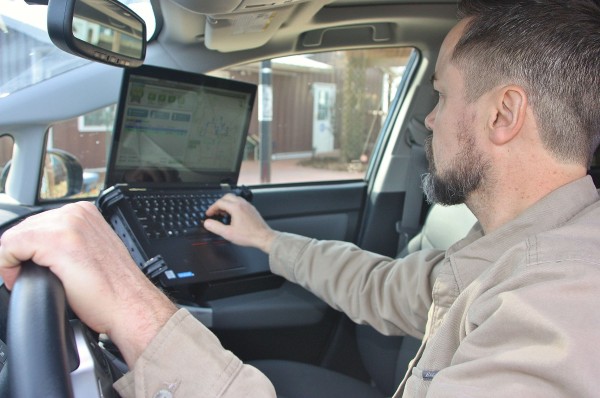
He usually takes 3-4 big trips a year, plus smaller trips on long weekends. Sometimes he prints off route maps, and other times he uses his laptop in his car to follow the route.
Chris has no plans to stop after he succeeds in his goal of documenting every Civil War historical marker. He has plans to start a website with his findings. And once he’s done with the Civil War, he wants to do a similar thing for other big historical events in U.S. history—like the Trail of Tears or the War of 1812.
And he says MyRouteOnline will continue to be one of his tools. “I love having it at my disposal,” he said. “I feel confident it creates better routes than I can do on my own.”


