Planning Map of Boston Marathon 2025
April 23, 2025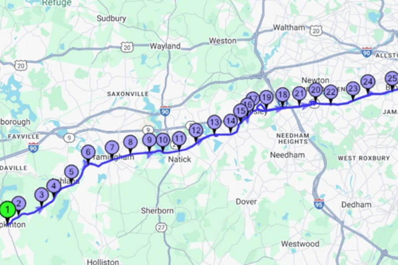
The 2025 Boston Marathon, held on April 21, once again brought the world’s best runners and tens of thousands of amateurs to the storied streets of Massachusetts. This year’s race was packed with record-breaking performances, inspiring stories, and a course that remains one of the most iconic and challenging in marathon history.
The Legendary Route from Hopkinton to Boston
The Boston Marathon’s 26.2-mile course is as famous as the athletes who run it. Starting in Hopkinton, runners wind through Ashland, Framingham, Natick, Wellesley (home to the famous “scream tunnel” at Wellesley College), Newton (site of the notorious Heartbreak Hill), Brookline, and finally into Boston, finishing on Boylston Street.
What makes the Boston route unique is its point-to-point layout, its rolling hills and the rich history embedded in every mile. The route is not just a test of speed but of strategy and endurance, with the hills often determining the day’s champions.
How the Stops and Amenities Are Chosen
Planning the Boston Marathon route is a year-round endeavour. Each water and aid station are strategically placed to maximize runner safety and performance. Fluid replacement stations are spaced at regular intervals, with medical tents and cheering zones coordinated with local towns and emergency services. These stops are selected based on runner feedback, historical data on weather and runner needs, and logistical considerations like access for volunteers and emergency vehicles.
The Boston Athletic Association works closely with local municipalities to ensure each stop is accessible, safe, and optimally located for both elite and recreational runners. The placement of amenities like the Wellesley College scream tunnel and the Newton hills water stations are now as much a part of marathon tradition as the race itself.
A Day for the History Books
Kenya’s John Korir etched his name in Boston lore by pulling away from the lead pack around the 20-mile mark, finishing in an impressive 2:04:45. Notably, he follows in the footsteps of his brother, Wesley Korir, the 2012 Boston champion which is a rare sibling achievement in marathon history. On the women’s side, Kenya’s Sharon Lokedi shattered the long-standing course record, crossing the line in 2:17:22, an astonishing 2:37 faster than the previous best. The wheelchair division saw Switzerland’s Marcel Hug, “The Silver Bullet,” claims his eighth Boston title with a commanding solo effort and a time of 1:21:34.
This year’s marathon was the fastest ever for elites, with the top 15 men averaging 2:07:25 and the top women 2:22:34. In total, 28,384 runners finished the race, representing all 50 states, U.S. territories, and 125 countries.
Mapping the Marathon
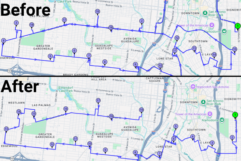
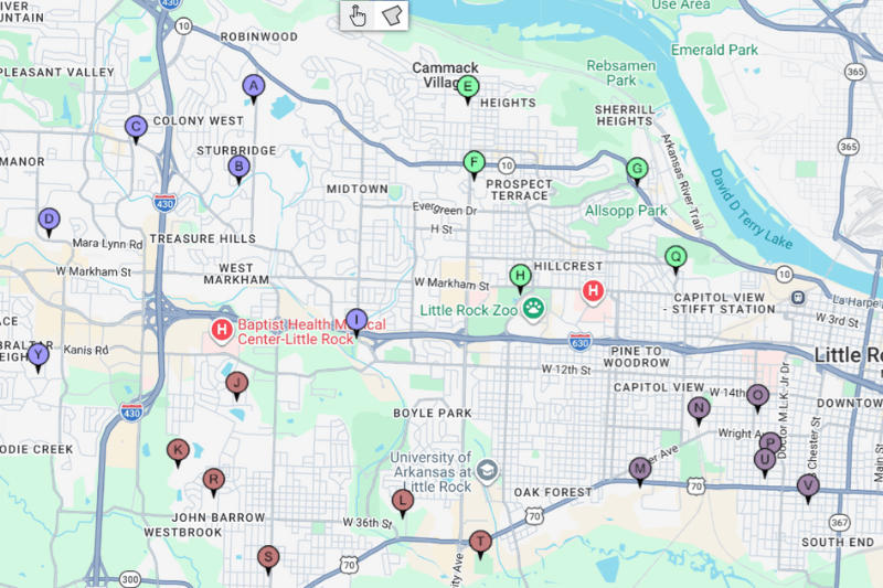
For organizers and aspiring race directors, planning a marathon route is a complex puzzle. Balancing distance, elevation, crowd safety, and logistics is a challenging task. Tools like MyRouteOnline make this process more efficient and precise. By using MyRouteOnline’s mapping technology, planners can visualize the entire marathon route, optimize the placement of stops, and ensure that every mile marker, water station, and medical tent is exactly where it needs to be.
If you’re considering creating a new marathon or road race, MyRouteOnline can help you design and refine your route with the same attention to detail seen in Boston. From plotting the starting line to mapping the entire route and every aid station, we bring modern efficiency to a time-honoured tradition.
Planning a Route for the Ages
The Boston Marathon’s route is more than just a path from Hopkinton to Boston; it’s a living piece of sports history, meticulously planned and executed year after year. Whether you’re a runner, a fan, or a race organizer, the 2025 event was a reminder of how great planning, and great athletes, create unforgettable moments on the roads of Massachusetts.
Explore the Boston Marathon planning route and see how MyRouteOnline can help you plan your next big event.

